Have You Heard of the Chippewa Subdistrict
Did you know that MWCD owns and operates a flood control system in Medina and Wayne counties that is separate from the Muskingum Flood Control System? The system is operated by the Chippewa Subdistrict of MWCD.
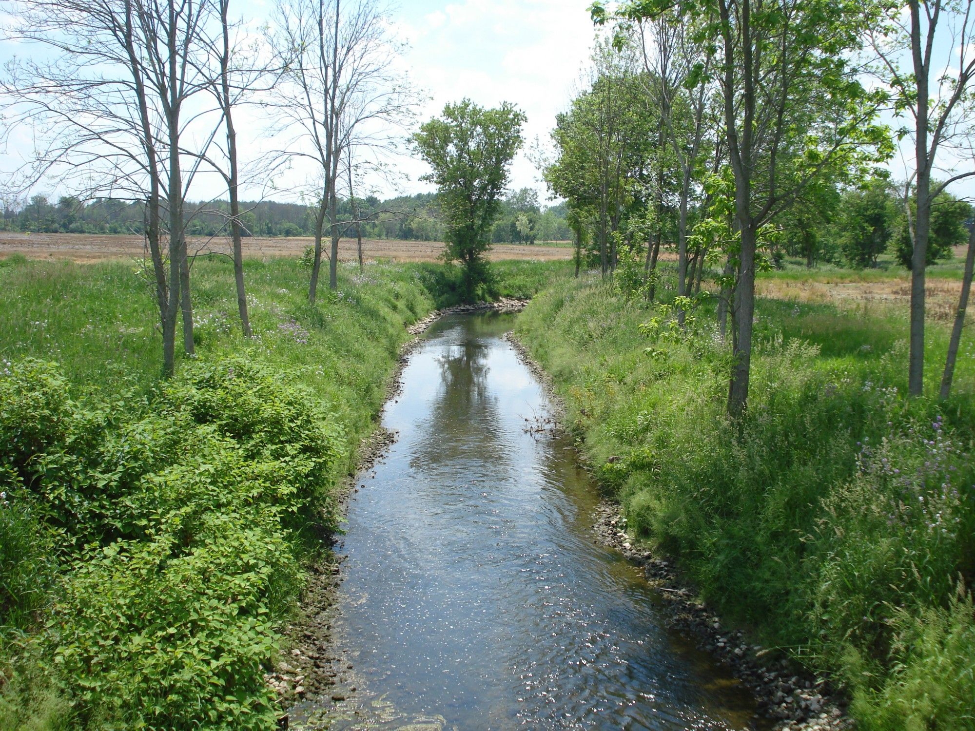
Chippewa Subdistrict was formed in the 1960s through a grassroots effort led by local business owners and farmers to lessen the devastating impacts of flooding along Chippewa Creek, which starts in northern Medina County and flows in a southeasterly direction to where it meets the Tuscarawas River near the town of Clinton. The Chippewa Creek watershed encompasses 188 square miles. The eight dams and associated channel improvements along Chippewa Creek and two other tributaries, Little Chippewa Creek and River Styx, were designed and built by the Soil Conservation Service (SCS), now called the Natural Resources Conservation Service. The SCS built hundreds of similar dams all over the United States. However, to build the Chippewa system, a local sponsor was required. MWCD was asked to fill that role and was instrumental in acquiring property and easements for construction of the dams and channel improvements. Construction of the project was supported by federal funds at a total cost of $12,190,000 with a local cost-share of $2,268,000. When the last dam was built in 1980, the entire system was handed over to the Chippewa Subdistrict to own, maintain, and operate.
The Chippewa Subdistrict is its own entity and was created and is operated in a similar fashion as the larger MWCD. Chippewa has a project coordinator on staff that keeps the system operating smoothly and the chief engineer for MWCD also serves as chief engineer for the Chippewa Subdistrict. The subdistrict also has its own Conservancy Court and maintenance assessment which generates $320,000 per year. Those funds are used to maintain the eight dams and associated spillway systems, remove logjams and debris that accumulate throughout the channel system, maintain access along the channel system, and maintain over 600 drainage structures along the channel. Local contractors are utilized for much of the maintenance work and in doing so, Chippewa supports many small businesses in the local community.
For nearly five decades, the Chippewa Flood Control System has been a great success in preventing disastrous flooding for communities along Chippewa Creek including Seville, Sterling, Creston, Rittman, and Clinton. The last devastating flood occurred in 1969 when severe thunderstorms moved from Lake Erie into Ohio’s north coast communities on July 4th. This line of storms became stationary for eight hours from Toledo southeastward through Fremont, Norwalk, Ashland, and Wooster. 10-14 inches of rain fell in a band heading southeast from Ottawa County to Wayne and Holmes Counties. Massillon, just east of that area, received six or more inches of rain. Most of Ashland and Wayne Counties were flooded and isolated for two days after the flood. Killbuck Creek in Holmes County rose 20 feet, its highest known level.
Chippewa’s dams range in size from 27 feet to 55 feet tall and from 470 feet to over 2,600 feet in length. Four of the dams are “dry dams” meaning they do not impound water during normal conditions, while the other four are “wet dams” where a permanent reservoir is impounded behind the dams. All eight dams are regulated by the State of Ohio and are in complete compliance with state standards and regulations.
If you ever find yourself driving west on Interstate 76 about two miles before the Interstate 71 intersection, look northward and you will see Hubbard Valley Dam, one of Chippewa’s dams.
Boris Slogar Chief Engineer
This article was featured in MWCD’s quarterly newsletter, LakeViews. To join our LakeViews mailing list, call 330-343-6647 or visit MWCD.org


